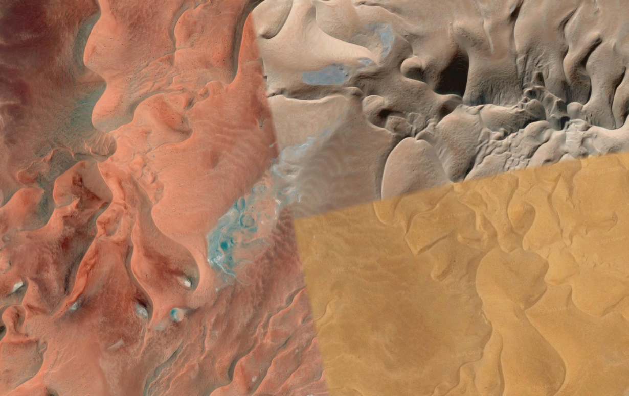
Satellite desert collage, courtesy of Gmaps. I heard that Apple Maps is getting decent, I wonder how a Linux hillbilly like me would go about to access it.
3 thoughts on “Satellite desert collage, courtesy of Gmaps.”
Post a Comment through Mastodon
If you have a Mastodon account, .
It’s possible to embed Apple Maps in websites, as seen on https://developer.apple.com/maps/web/, but I’m not sure how complete the web version is.
How was the “Satellite Desert Collage” image created and what was the purpose of its creation?
Regard Telkom University
Hi Telkom University. The image is a classic example of pseudo-automatic photo-stitching found on Google maps. Finding egregious ones is just a matter of looking in the right places! 😉